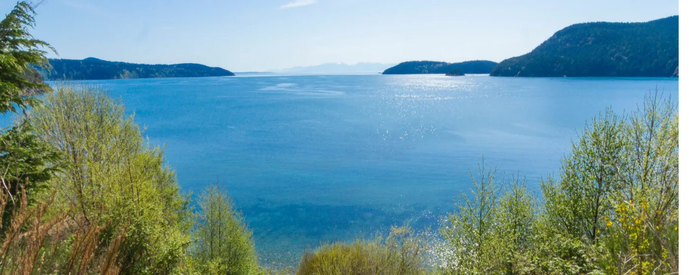
Puget Sound · Washington
Nearly 40% of Anacortes's land area is dedicated to parks and forest — a figure that stops most newcomers cold. That's not a rounding error or a marketing claim. The city genuinely operates as a park with a town in the middle of it, not the other way around. Buyers relocating from Seattle or Bellevue who expect a modest city park system and a rec center with a pool find something fundamentally different here.
What shapes that experience is Fidalgo Island's terrain itself. Volcanic rock, freshwater lakes, dense second-growth forest, and dramatic ridgelines run right up to the edge of residential streets. The Anacortes Community Forest Lands alone cover more than 2,800 acres — accessible, free, and laced with over 50 miles of trails. Add the saltwater shoreline, the Tommy Thompson rail trail, and Washington Park's peninsula, and outdoor life here isn't something you have to drive to find.
This guide covers where Anacortes's outdoor infrastructure actually shines, which trails and parks are worth knowing before you move, what's available in terms of organized recreation, and what lies just beyond city limits when you're ready to explore further.
| Park | Highlights | Best For |
|---|---|---|
| Washington Park | 220 acres, 68 campsites, boat launch, 2.2-mile paved loop, San Juan views | Camping, boating, family day trips |
| Cap Sante Park | 37-acre forested promontory, 360° views, disc golf, playground | Panoramic views, casual hiking |
| Anacortes Community Forest Lands | 2,800+ acres, 50+ miles of trails, 3 freshwater lakes | Mountain biking, trail running, hiking |
| Mount Erie Park | 160 acres, 1,270-ft summit, trailhead into ACFL | Serious hikers, photographers |
| Causland Memorial Park | Historic 1920s mosaic stonework, bandstand, amphitheater | History, picnics, events |
| Tommy Thompson Parkway | 3.3-mile paved rail trail, bay views, 2,000-ft trestle | Walking, cycling, commuting on foot |
| Storvik Park | 8.7 acres, baseball/soccer, two basketball courts | Youth sports, neighborhood play |
| Ben Root Skate Park | 7,500 sq ft concrete park, pump track, bowl | Skateboarding, BMX |
| Kiwanis/Rice Complex | Three baseball fields, soccer, football/track stadium (in progress) | Organized youth leagues |
| Rotary Park | 1.5-acre linear park, disc golf, bay views | Disc golf, walking |
| Guemes Channel Trail | Shoreline access, water views | Easy walking, scenic strolls |
Anacortes's park system is genuinely exceptional for a city of 18,000 — the combination of ACFL trail acreage, a full-service waterfront campground, and multiple paved corridors is rare at this scale. What's thinner here than in larger cities is covered indoor recreation space; the aquatic center covers the basics, but options for gym-style fitness facilities managed by the city are limited.
Location: 6300 Sunset Ave, Anacortes, WA 98222
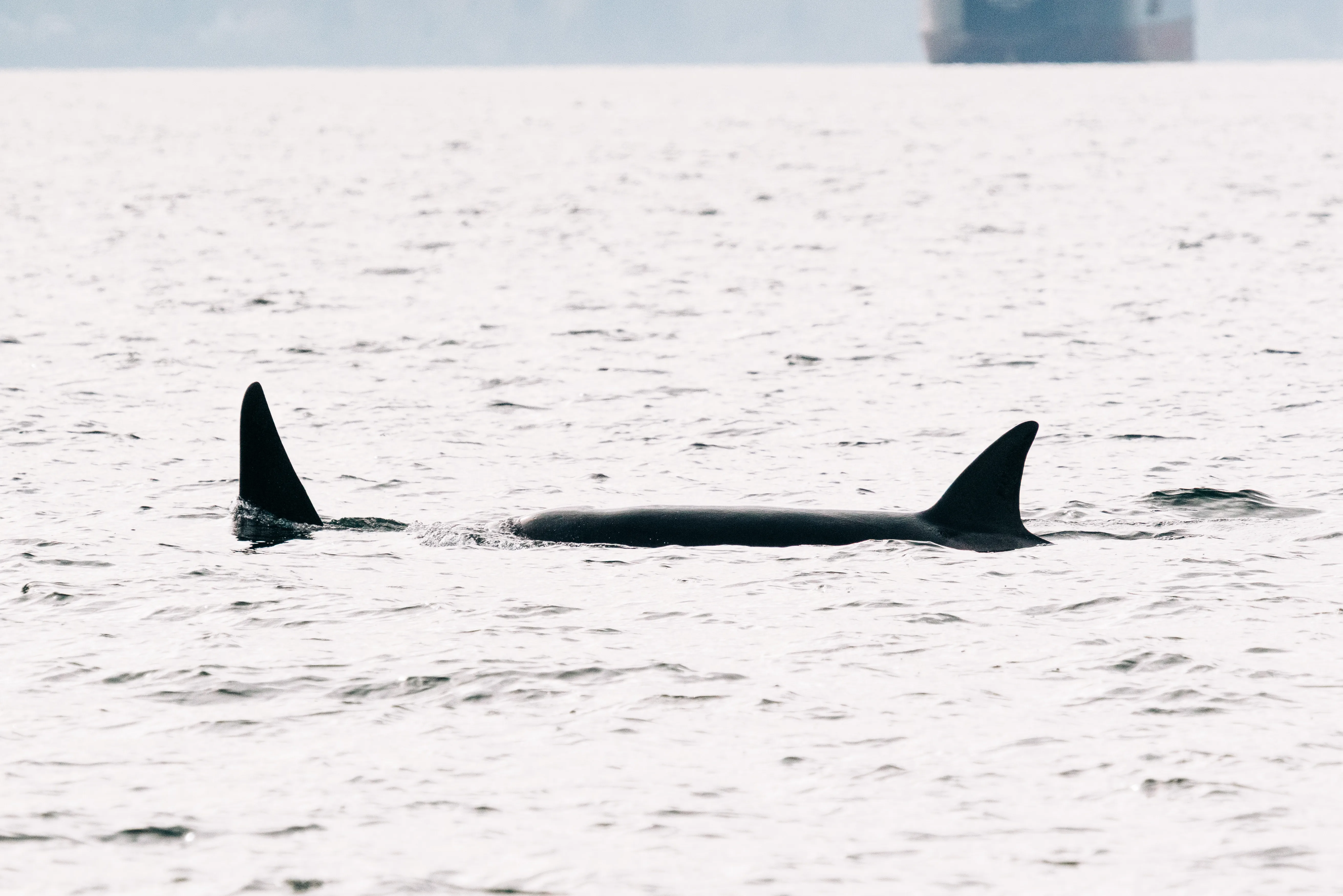
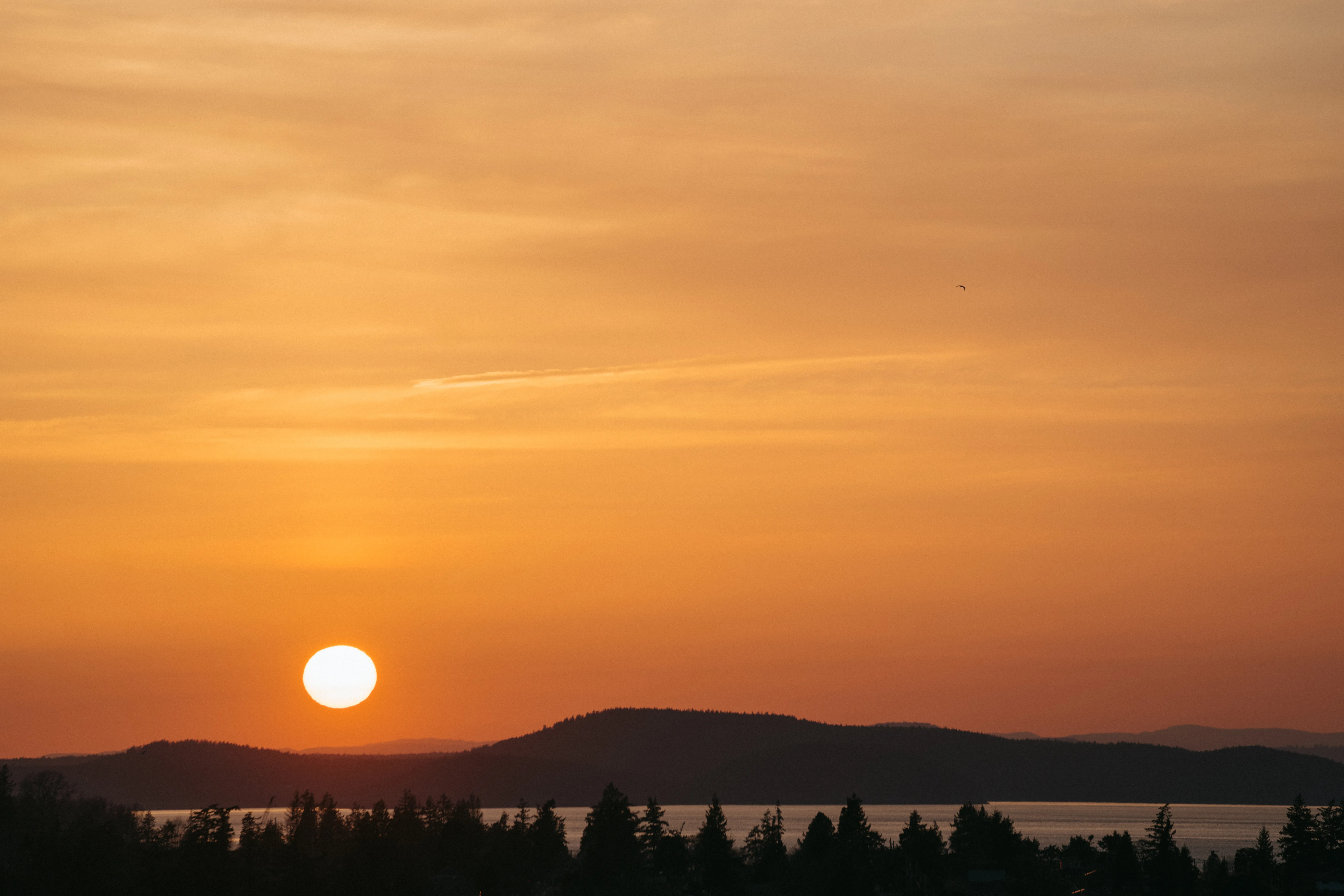
Washington Park sits on a peninsula at the westernmost point of Fidalgo Island, and it rewards a slow visit. The 220-acre park offers 68 campsites for tents and RVs — complete with restrooms, showers, and laundry — alongside a full boat launch and day-use picnic areas overlooking the San Juan Islands and Olympic Mountains. The insider tip: the paved 2.2-mile loop road is better at dusk than at noon, when the light off the water turns the whole thing cinematic. Best for: Camping, launching kayaks, family picnics, and anyone who wants a dramatic sunset without leaving city limits.
Location: Cap Sante Drive, Anacortes, WA 98221
The 37-acre park at the top of the Cap Sante promontory is Anacortes's most accessible dramatic viewpoint — drive up or hike from the marina, and on a clear day the panorama stretches from Mount Baker south to Mount Rainier, with the working harbor below and Fidalgo Bay spreading east. A challenging disc golf course winds through the forested hillside, and a playground and picnic area make it usable for families. Cap Sante is the park locals casually mention when they want to remind themselves why they live here. Best for: Quick viewpoint hikes, disc golf, and first-day-in-town impressions.
Location: Multiple trailheads; primary access off Heart Lake Road, Anacortes, WA 98221
The ACFL is the backbone of outdoor life in Anacortes. More than 2,800 acres of forest, wetland, meadow, and freshwater lakes — Whistle Lake, Heart Lake, and Cranberry Lake among them — are threaded by 125 trails, 105 of which are designated for mountain biking. The Whistle Lake 3-mile loop is a local standard, while the Mount Erie and Sugarloaf Loop stretches 9.5 miles with over 2,600 feet of elevation gain for those who want a serious day out. Trail maps are available at City Hall or the Visitor Information Center for $10. Best for: Mountain biking, trail running, solo hiking, and anyone who'd rather have forest than a fitness center.
Location: Heart Lake Road, Anacortes, WA 98221
At 1,270 feet, Mount Erie is the highest point on Fidalgo Island and delivers four separate viewing platforms at its summit — each facing a different compass direction for fully unobstructed Cascade, San Juan, and Sound views. The 160-acre park serves as the gateway to the broader ACFL trail network, so it functions both as a standalone destination and as the launch point for longer expeditions. A small summit parking area means you can drive up when your knees aren't cooperating or hike from the trailheads below when they are. Best for: Summit-seekers, photographers, and serious hikers who want elevation without driving to the mountains.
Location: 710 N Ave, Anacortes, WA 98221
Causland is unlike any other park in Anacortes — built in the 1920s by stonemason John Baptiste LePage using ornate pebble and rock mosaic technique to honor local veterans, it's been on the National Register of Historic Places for decades. A bandstand, amphitheater, serpentine mosaic walls, and tiered terraces make it feel more like an outdoor gallery than a city park. It's a quieter spot used for small community gatherings and the occasional summer performance, and it's genuinely worth visiting even if you never picnic there. Best for: History enthusiasts, quiet afternoons, and community events.
The Tommy Thompson Parkway is Anacortes's signature paved trail corridor, running 3.3 miles from downtown along the edge of Fidalgo Bay out to March's Point. It begins at the corner of 11th Avenue and Q Street and follows the old railroad alignment — flat, smooth blacktop the entire way, open to walkers and cyclists alike. The centerpiece is a 2,000-foot paved trestle spanning Fidalgo Bay, which delivers some of the best unobstructed water and mountain views you can access on foot in the city. On clear days, Mount Baker frames the eastern end of the trail perfectly. It's the kind of route that becomes a daily habit for people who live within a mile of either trailhead.
Looking to buy in Estimate your payment.
Enter your numbers to see an estimated monthly mortgage payment.
Estimate only. Excludes HOA fees and mortgage insurance.
The Anacortes Aquatics Center, located at 1603 22nd Street, Anacortes, WA 98221, is the primary indoor recreation facility operated by the city. It offers lap swimming, open recreational swim, youth swim lessons, and water fitness programs throughout the year. The facility serves as the main hub for Parks and Recreation programming, including senior fitness activities coordinated through the Senior Activity Center at City Hall. For residents who want to stay active during the gray winter months without driving to a commercial gym in Burlington or Mount Vernon, the aquatics center is a practical anchor — not a full-service recreation complex, but well-maintained and well-used.
| Destination | Distance | Highlights |
|---|---|---|
| Deception Pass State Park | 15 miles | Iconic bridge, saltwater beach, old-growth forest trails |
| Padilla Bay National Estuary | 10 miles | Shorebird habitat, flat walking trail, interpretive center |
| Skagit Valley Tulip Fields | 20 miles | Spring blooms, cycling routes, farm stands |
| Chuckanut Mountain Trails | 35 miles | Ridge hiking, sandstone formations, Bellingham views |
| San Juan Islands (ferry) | 30-min ferry from ferry terminal | Kayaking, cycling, whale watching |
| North Cascades National Park | 75 miles | Alpine hiking, wilderness camping, Diablo Lake |
| Larrabee State Park | 40 miles | Saltwater shoreline, tide pools, forested trails |
| Rasar State Park | 50 miles | Skagit River camping, fishing, year-round bird watching |
Local Expert Takeaway: The Anacortes Community Forest Lands are the most underrated outdoor asset in this entire market, and buyers who buy near ACFL trailhead access — particularly on the south side of town near Heart Lake Road — consistently report it as one of the top reasons they'd never leave. If you're comparing Anacortes against Burlington or Mount Vernon purely on price, run that comparison against what you're giving up in terms of trail access. The difference isn't a minor lifestyle perk; it's a fundamentally different daily experience.
Are there good hiking trails in Anacortes itself?
Yes — the Anacortes Community Forest Lands contain over 125 trails and 50+ miles of multi-use routes within the city limits. The Whistle Lake loop, Heart Lake Trail, and the 9.5-mile Mount Erie and Sugarloaf Loop are the most frequently hiked, ranging from easy to genuinely strenuous.
Is Anacortes good for mountain biking?
Anacortes has a legitimate mountain biking scene built around the ACFL, where 105 of the 125 designated trails allow bikes. The network connects the Cranberry Lake, Heart Lake, and Whistle Lake areas with enough variety to keep intermediate and advanced riders busy year-round.
What indoor recreation facilities does Anacortes have?
The Anacortes Aquatics Center on 22nd Street is the primary city-run indoor facility, offering lap swimming, lessons, and fitness programs. For gym-style fitness amenities, most residents use commercial options in town or drive to Burlington, though the aquatics center handles the core community recreation programming well.
Explore the full Anacortes series: The Ultimate Anacortes Relocation Guide · Is It Safe? · Cost of Living · Best Neighborhoods · Schools & Family Life · Youth Sports · Parks & Rec · Retiring in Anacortes · 1031 Tax-Deferred Exchange in Anacortes · Anacortes First-Time Homebuyers Guide · Moving to Anacortes from California
Tell us what you need help with and we'll connect you with local resources.

About the Author
Todd Davidson is the founder of Living in Oregon and Living in Washington, where he publishes in-depth city guides, neighborhood resources, and local market insights covering more than 180 communities across the Pacific Northwest. While his background is in home financing and real estate, he created these digital platforms to help families research and compare regions before making a move.